


Esta cache irá te conduzir a um fenómeno geológico interessante na foz da Ribeira do Faial. Parte deste fenómeno está inserido na nova zona de lazer aqui construída.
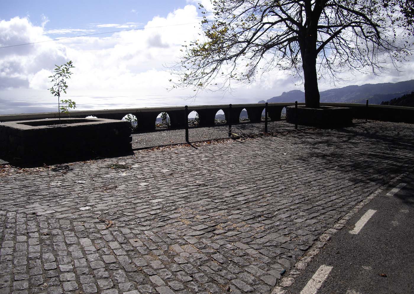
A zona de lazer do Complexo Balnear do Faial, junto à foz da ribeira, conta com um parque para actividades lúdicas.
This cache will lead you to an interesting geological phenomenon at the mouth of theRibeira do Faial. Part of this phenomenon is inserted in the new recreation area built here.
The leisure area of the Complexo Balnear do Faial, near the mouth of the river, has a park for recreational activities.

Com uma vasta área verde, o espaço tem uma ciclovia, uma mini pista para bicicletas (para crianças), um parque radical e zonas específicas para a prática de jogos tradicionais madeirenses, entre outros.
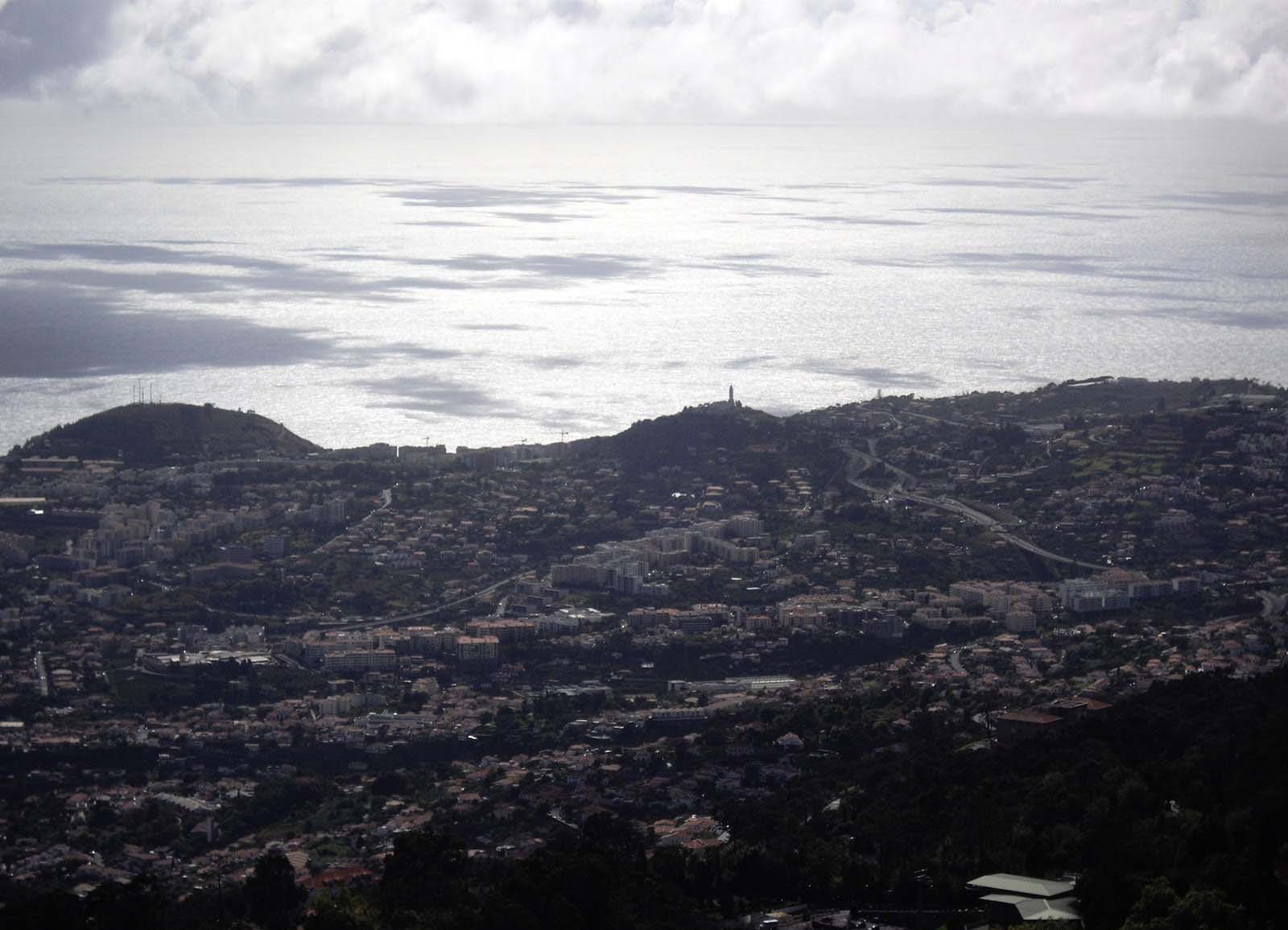
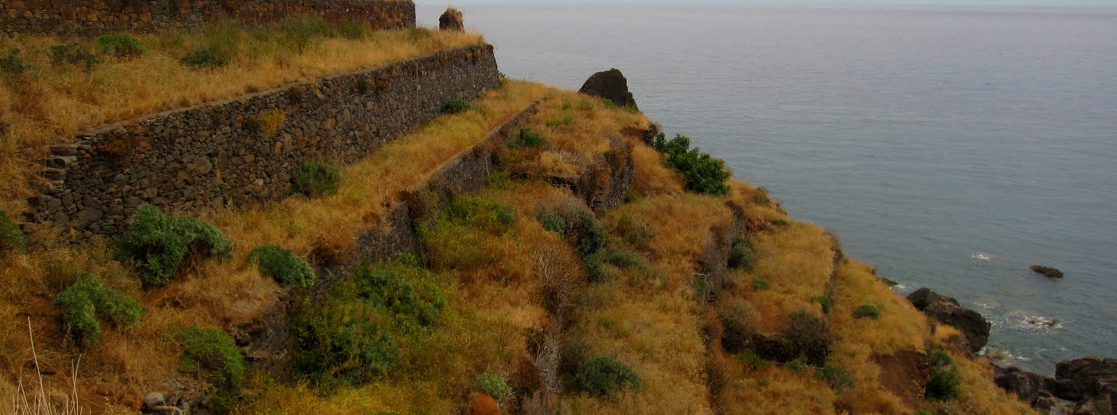
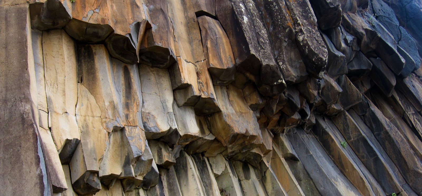
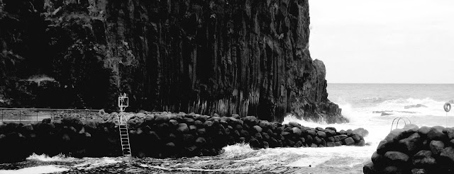
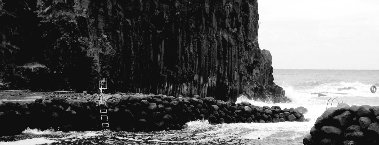
O parque de actividades lúdicas está enquadrado entre as margens escarpadas da foz da Ribeira do Faial, das quais se destacam, pelo Norte, as expressivas formações de basalto que sustentam o Morro do Cabrestante e a Sul o início da escarpa montanhosa que contorna a margem direita da ribeira.
The leisure area of the Complexo Balnear do Faial, near the mouth of the river, has a park for recreational activities.

Com uma vasta área verde, o espaço tem uma ciclovia, uma mini pista para bicicletas (para crianças), um parque radical e zonas específicas para a prática de jogos tradicionais madeirenses, entre outros.
O parque de actividades lúdicas está enquadrado entre as margens escarpadas da foz da Ribeira do Faial, das quais se destacam, pelo Norte, as expressivas formações de basalto que sustentam o Morro do Cabrestante e a Sul o início da escarpa montanhosa que contorna a margem direita da ribeira.
This park is framed between the steep banks of the mouth of the Ribeira do Faial,including most importantly, to the north, the impressive basalt rock formations that hold the Morro do Cabrestante South and the start of the mountain ridge which skirts the right edge of the riverside.

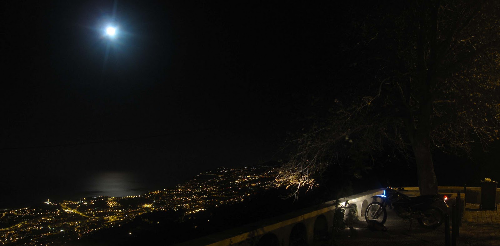
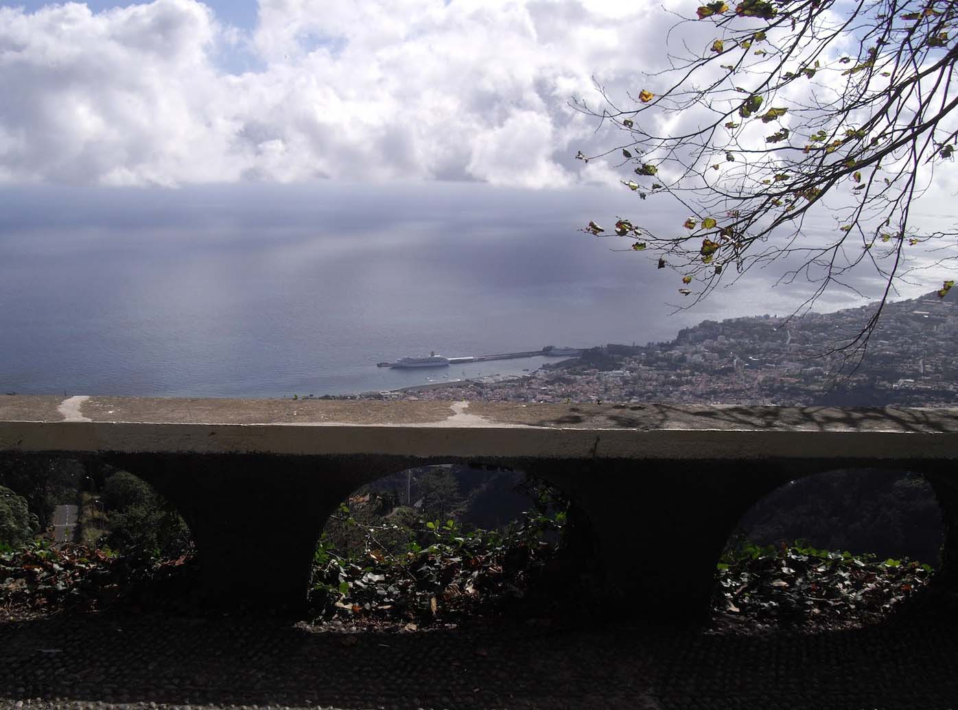
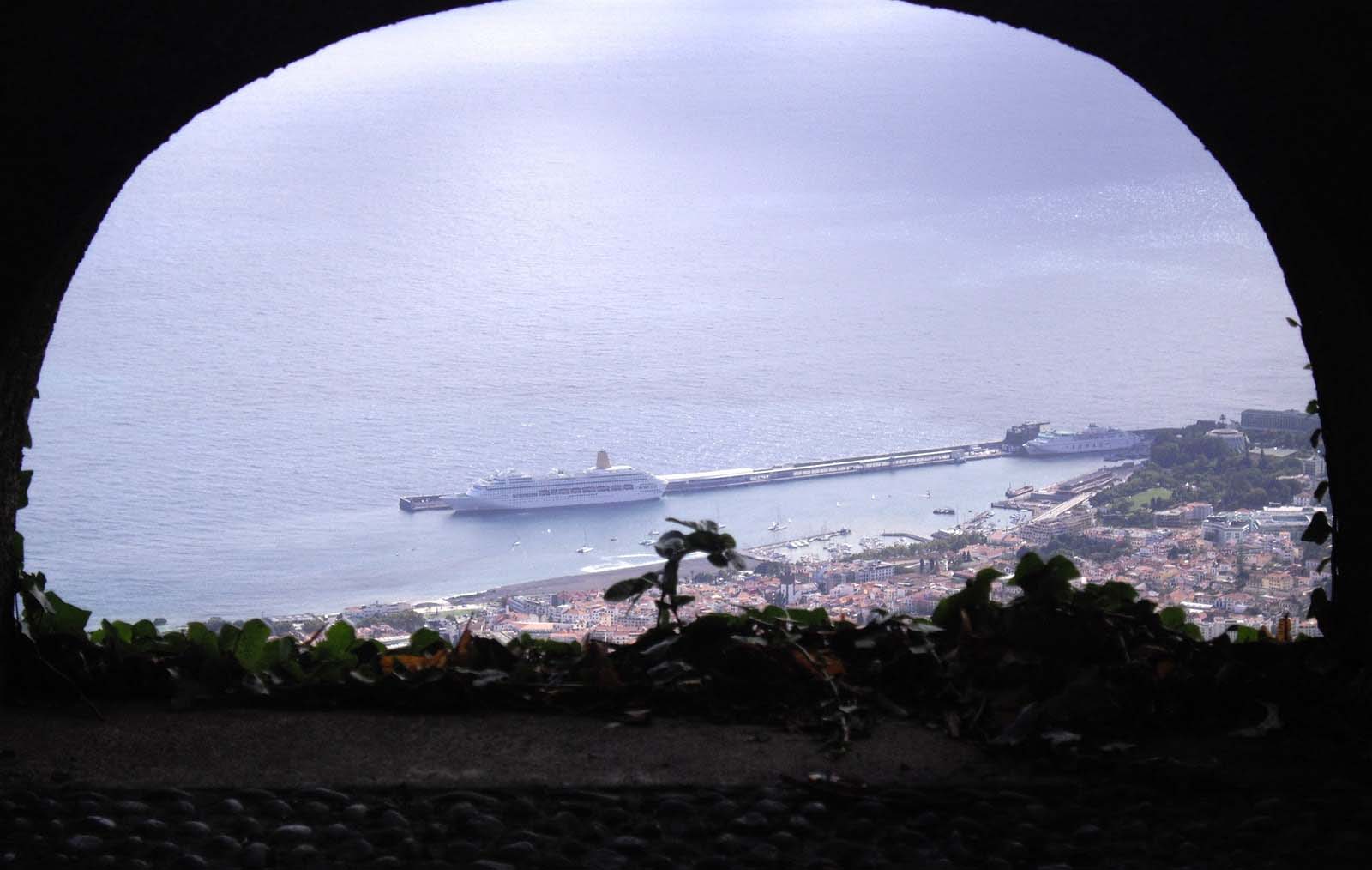
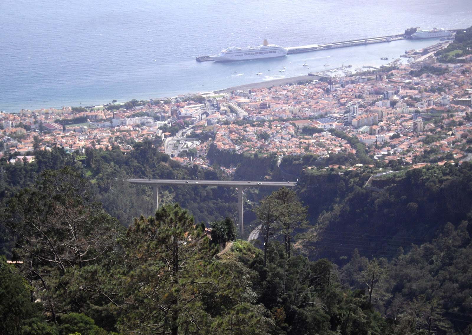
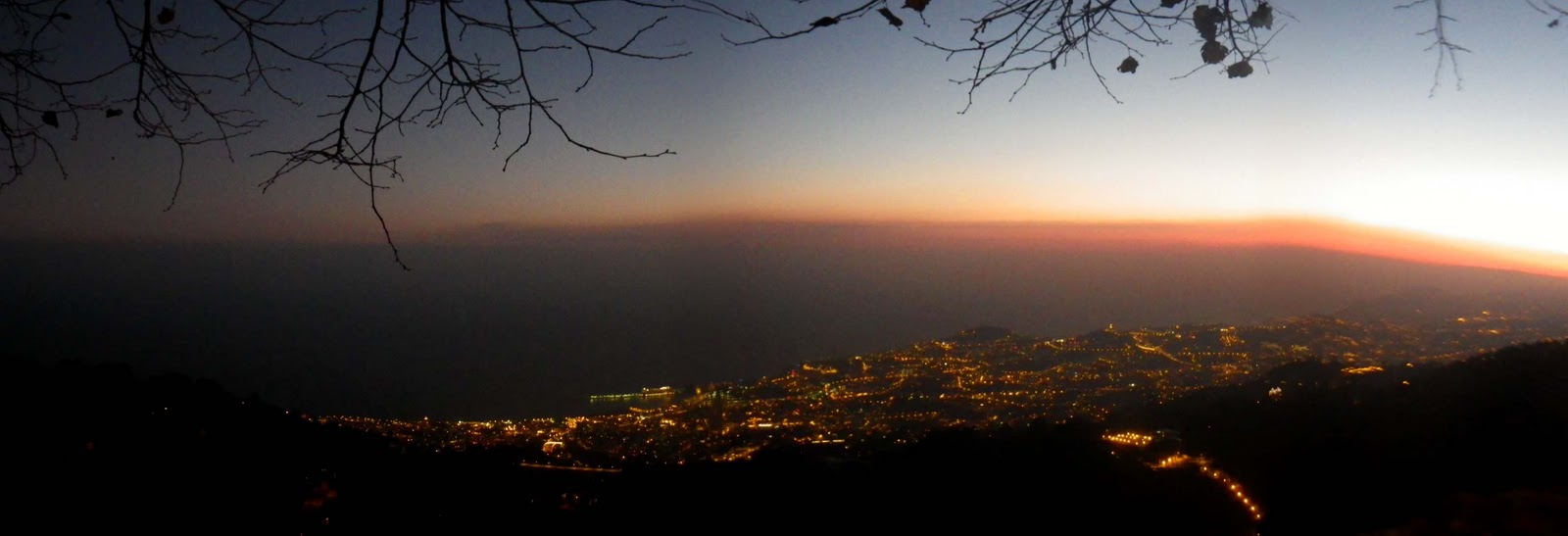
Graças às cotas do terreno, suficientemente altas, esta zona tem o efeito de miradouro sobre o vale, destacando-se a riqueza da vista até ao mar.
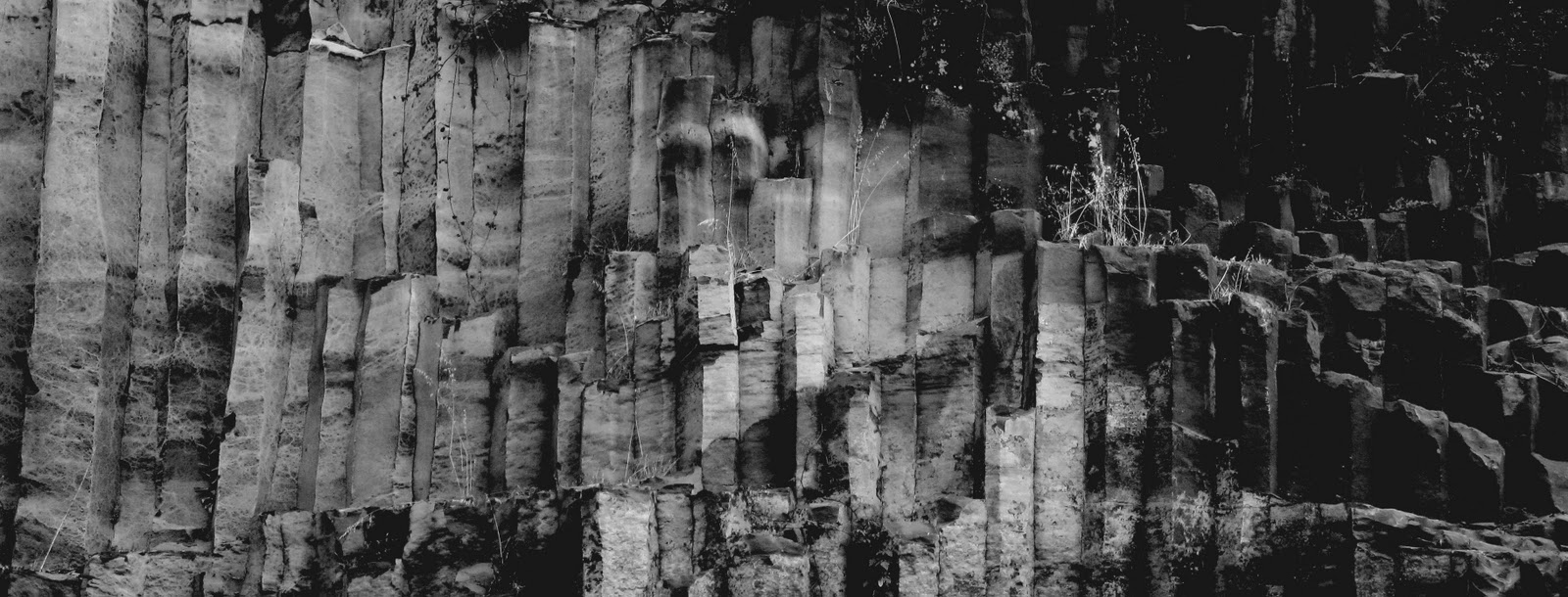
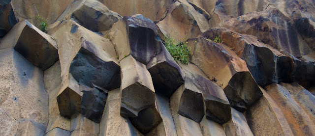
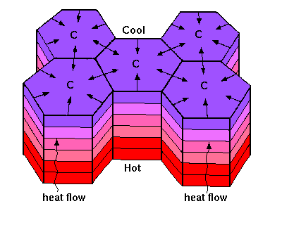
Nesta área poderás observar uma interessante estrutura geológica denominada disjunção colunar prismática.
Thanks to the dimensions of the ground, high enough, this area has the effect of a viewpoint over the valley, especially a very good view to the sea.
In this area you can observe an interesting geological structure called Columnar Jointing.
In this area you can observe an interesting geological structure called Columnar Jointing.
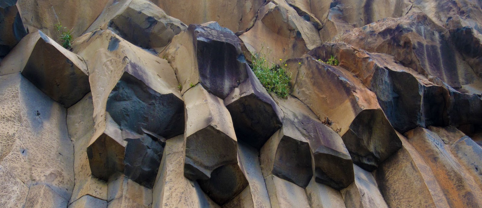
The formation of prismatic columns occurs during cooling of the lava from a volcano. When the lava cools the tension caused by thermal contraction exceeds the tensile strength of the rock, leading to fracturing. The formation of pentagonal or hexagonal prisms is motivated by the stability of these geometries in terms of a rupture surface. The development of the columns is generally perpendicular to the surface cooling. This usually coincides with the top or bottom of the draining area, and for that reason the observation of vertical structures is quite common.
Para fazer o log desta cache terá que responder às seguintes questões:
To log this cache will have to answer the following questions:
STAGE 1
32° 47.524'N
16° 51.049'W
1- O que é que achas que originou a formação destas colunas?
1- What do you think led to the formation of these columns?
2- Qual a altura aproximada deste fenómeno nestas coordenadas?
STAGE 1
32° 47.524'N
16° 51.049'W
1- O que é que achas que originou a formação destas colunas?
1- What do you think led to the formation of these columns?
2- Qual a altura aproximada deste fenómeno nestas coordenadas?
2 - What is the approximate height of this phenomenon in these coordinates?
3- Qual é a cor das colunas nestas coordenadas?
3 - What is the color of the columns in these coordinates?

STAGE 2
32° 47.582'N
16° 50.967'W
4- Quais são as formas mais frequentes da base das colunas?
4- What are the most frequent forms of the base of the columns?
5- Qual achas que é a razão de serem essas as formas da base mais frequentes?
5 - What do you think is the reason that these are the most common forms of the base?
6- Qual o comprimento aproximado do fenómeno nestas coordenadas?
6 - What is the approximate length of the phenomenon in these coordinates?
STAGE 3
32° 47.576'N
16° 50.900'W
Tarefa opcional para fazer o log desta cache: tire uma foto consigo ou com o seu GPS e com as colunas de basalto que chocam com as ondas do mar e faça upload da foto com o seu log.
STAGE 3
32° 47.576'N
16° 50.900'W
Tarefa opcional para fazer o log desta cache: tire uma foto consigo ou com o seu GPS e com as colunas de basalto que chocam com as ondas do mar e faça upload da foto com o seu log.
Atenção!
Só poderão efectuar o log depois de enviar as respectivas respostas ao owner da cache. Logs sem respostas serão eliminados.
Attention!
You can only log after sending your answers to the cache owner. Logs without answers will be deleted.